![]()
Historic local maps
Thompson map of the parish of St Pancras, 1804. Construction of the Regent's Canal started in 1812. Note that the map is orientated with north to the right. Source: Bodleian Library. Link

Greenwood's Map of London, 1827 Link The Regent's Canal was completed in 1820 and can be seen crossing the map.The area now occupied by St Pancras Yacht Basin is towards the lower right.

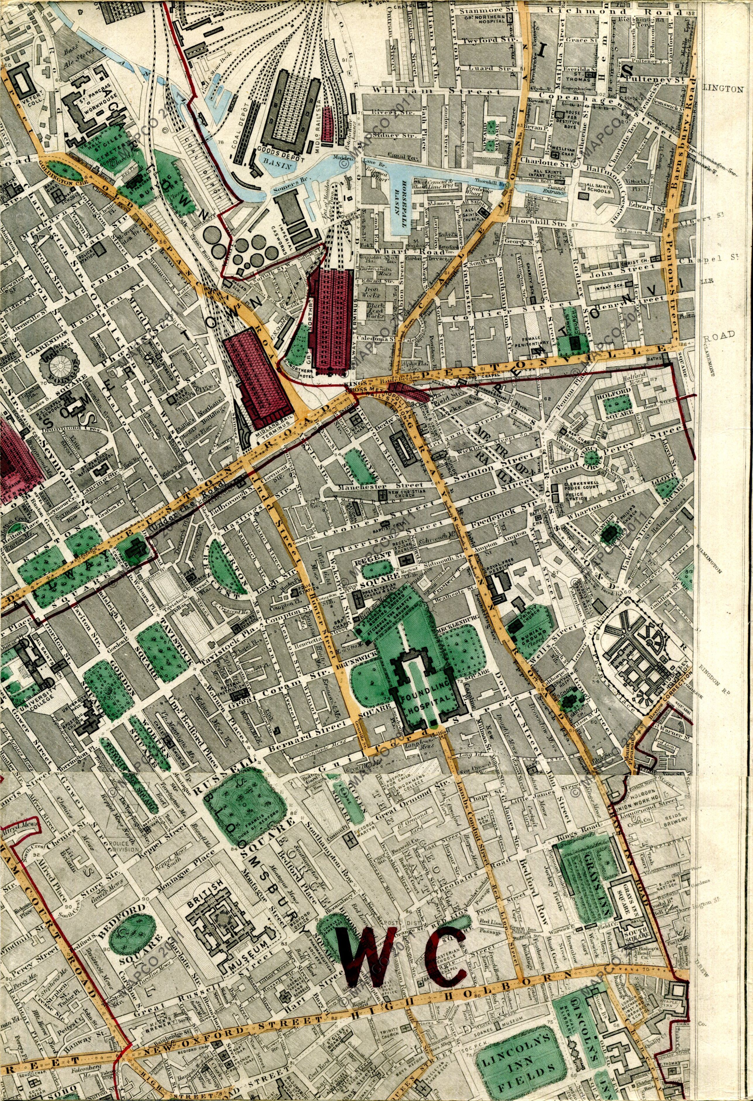
Stanford’s Library Map Of London And Its Suburbs 1872 The Midland Railway's coal dock, now St Pancras Yacht Basin, now features on the west side of the canal, close to St Pancras lock. Source: Mapco Link